
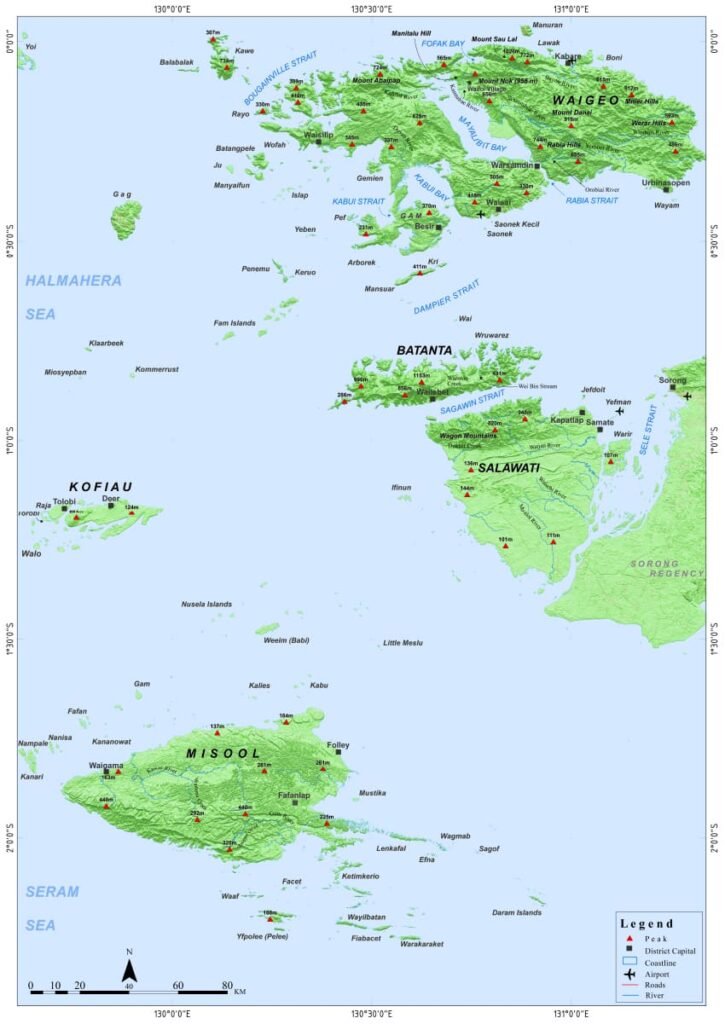
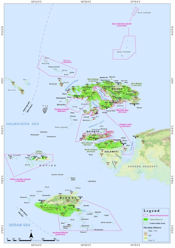
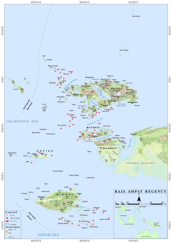
Maps of Raja Ampat
Maps of Raja Ampat are essential for exploring this breathtaking paradise. The maps below highlight the major islands, protected areas, plant communities and top diving sites. Whether for navigation, tourism, or conservation, they will help visitors and researchers discover the rich biodiversity and hidden gems of this Indonesian archipelago.
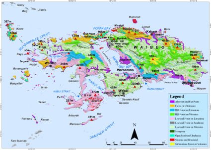
Waigeo's plant communities
Full version (PDF 29.5MB)
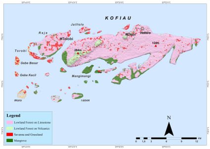
Kofiau's plant
communities
Full version (PDF 7.7MB)
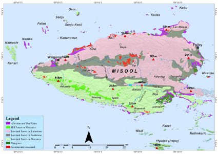
Misool's plant communities
Full version (PDF 25.5MB)

Batanta's and Salawati's
plant communities
Full version (PDF 29.8MB)